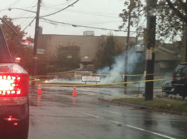

A underground transformer on Stewart Avenue went on fire this afternoon in Garden City during the storm.
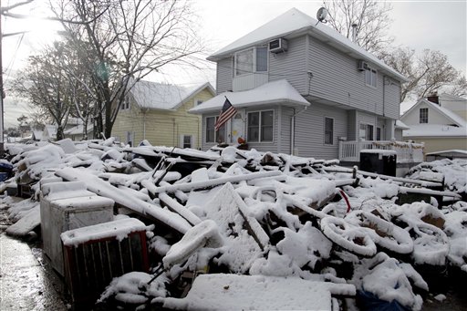
As if a Hurricane weren’t enough, parts of Long Island were hit with a snow storm Wednesday afternoon, courtesy of winter storm Athena, so named by the folks at the Weather Channel who felt the storm’s potential impacts deserved a title.
What was predicted to be a nor’easter bringing floods and heavy winds and rain to Nassau and Suffolk Counties, turned to a combination of snow, slush and rain, at times a combination of all three falling at once.
Local officials warned areas already devastated by Hurricane Sandy last week to brace for another storm. Nassau County Executive Ed Mangano urged residents living in flood or storm surge zones to evacuate.
“After Sandy has hit, I think those residing in a storm surge zone know who they are, and should leave,” he said, warning residents that the nor’easter would bring strong winds and flooding to areas already made vulnerable by Sandy.
The mandatory evacuations of Fire Island was also extended due to the storm.
Lauren Nash, a meteorologist from the National Weather Service, said wind gusts might blow down power lines and tree limbs weakened from Sandy and cause more power outages.
This morning more trees, weakened by Sandy, fell in Garden City and, in a separate incident, a stretch of Stewart Avenue lost electricity when an underground transformer went on fire.
Coastal flood and wind advisories are in effect on Long Island through Thursday, with winds expected to reach speeds between 25 and 40 MPH with gusts up to 60 MPH, according to the National Weather Service. Storm surges can expect to reach three to five feet along the south shore, adding to the already severe beach erosion.
Many school districts already announced early dismissals for Wednesday afternoon including Sachem, Freeport and Southampton. Here is an updated list of school closings for Thursday.
The NWS expects total snow accumulation to be anywhere from 1-4 inches. The snow will continue in parts of Long Island through noon Thursday.


