The Nor’easter headed for Long Island on Wednesday may exacerbate Hurricane Sandy’s damage to the area, officials warn.
The coastal storm is forecast to bring heavy winds, rain and possibly a light dusting of snow in some areas, which could lead to additional power outages and property damage.
Nassau County Executive Ed Mangano told residents in low-lying areas to evacuate for the storm.
“After Sandy has hit, I think those residing in a storm surge zone know who they are, and should leave,” he said.
The National Weather issued coastal flood watches for both the south and north shores of the Island. The south shore can expect to see a storm surge of around three feet at the times of high tide early Wednesday afternoon and again after midnight.
While this is nowhere near the record storm surges that hit the area during Hurricane Sandy, it will add to beach erosion, especially since many beaches and vulnerable shore roads lost their protective dunes in last week’s storm.
“The south shore is not in very good shape, so even just a little coastal flooding will hurt recovery efforts,” National Weather Service meteorologist Lauren Nash said.
Mangano agreed.
“I would expect, and it’s difficult to give this news, that some residents would experience a step backward in their recovery efforts,” he said.
The north shore could see surges of around three to four feet from the Long Island Sound around high tide, just after sunset on Wednesday and toward daybreak on Thursday. The NWS said that this surge could also cause widespread flooding of already vulnerable areas.
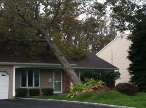
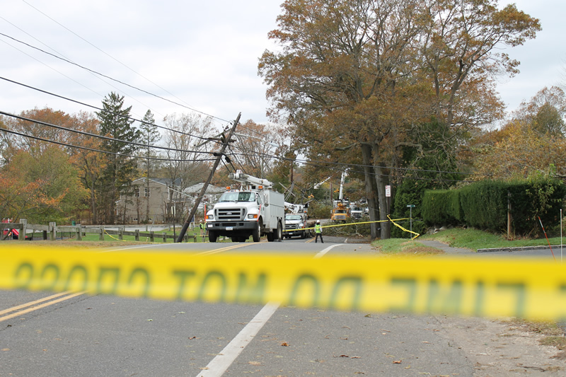
In addition to flooding concerns, a high wind watch is also in effect for Long Island. During the height of the storm Wednesday into Wednesday night, winds of 20 to 30 mph are expected and gusts could reach up to 60 mph. Nash said that this could result in downed limbs or power lines that are already loose from Sandy.
“Normally would I consider it a life-threatening storm? No,” Cuomo said. “But these are not normal situations.”


