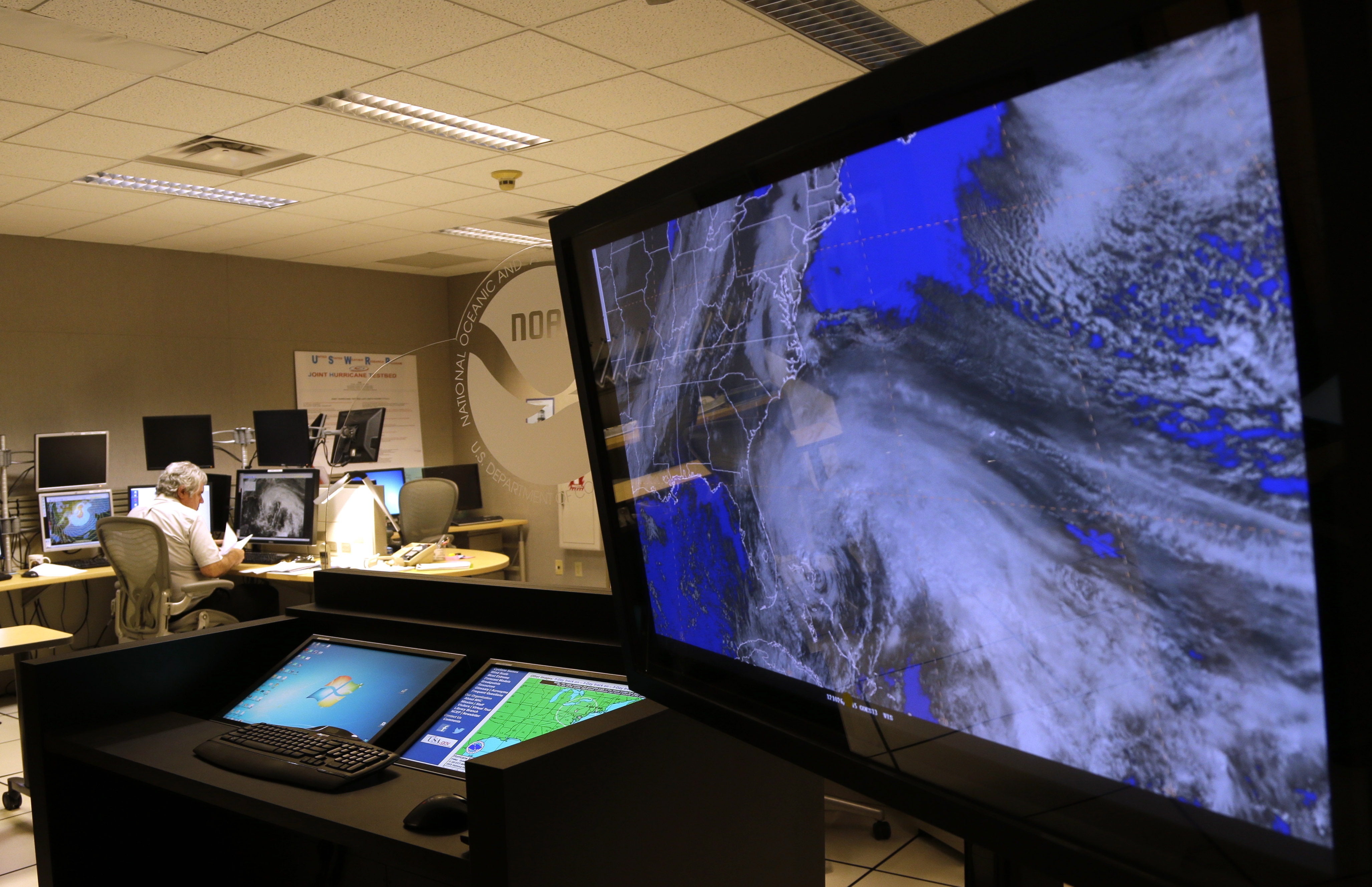

A satellite image of Hurricane Sandy is shown on a computer screen at the National Hurricane Center in Miami on Friday, Oct. 26, 2012. (AP Photo/Lynne Sladky)
Long Island probably won’t feel the effects of Hurricane Sandy until early next week but officials are already preparing for the pre-Halloween storm, dubbed “Frankenstorm,” which is expected to bring torrential rain and strong winds that could possibly cause widespread outages in Nassau and Suffolk counties.
The killer storm has already claimed 38 lives in the Caribbean and is currently in northwestern Bahamas, churning north. The National Weather Service expects the storm to approach the Northeast on Sunday.
The slow-moving system may merge with a winter storm before it approaches New York late Monday and early Tuesday morning, expanding in size and bringing 40 to 50 mph winds that could increase to Hurricane force winds once it hits Long Island, forecasters said.
CLICK HERE FOR LIVE RADAR, TWEETS, COVERAGE REGARDING HURRICANE SANDY
“This is going to be a very large and powerful storm with significant impacts well away from the center,” said Dan Hofmann, a meteorologist at the National Weather Service in Upton.
Sandy is currently on track to move up the Northeast and make landfall south of Long Island. But officials cautioned that the storm, massive in size, can produce damaging winds and a “large battering of waves” on the South Shore.
(OFFICIALS WARN OF PUBLIC TRANSPORTATION DISRUPTIONS)
The storm is currently moving at only 7 mph, and once it reaches Long Island it may be a while before it clears out of the area.
“It’s going to be sticking around for a significant of time which will exacerbate the wind, damage and coastal flooding threat,” Hofmann said.
Nassau County is holding a press conference with emergency management officials in Bethpage late Friday afternoon to discuss what the county is doing to prepare for Sandy.
As officials did last year with Hurricane Irene, they’re urging residents to heed warnings as they come.
“Look at this as a serious storm even though Hurricane Sandy looks like it will land somewhere south of us—New Jersey or Delaware—it’s a huge storm, and the combination of the cold front that it’s bumping up against is really going to create a lot of headaches for us,” said Red Cross regional spokesman Sam Kille. “We’re looking at a lot of rain and wind for a very long period of time.”
The Red Cross has approximately 50 shelters throughout the Island that are stocked with cots and blankets for evacuees. Thirty-one shelters were opened last year during Irene, Kille said.
Officials have yet to announce which shelters will open its doors.


